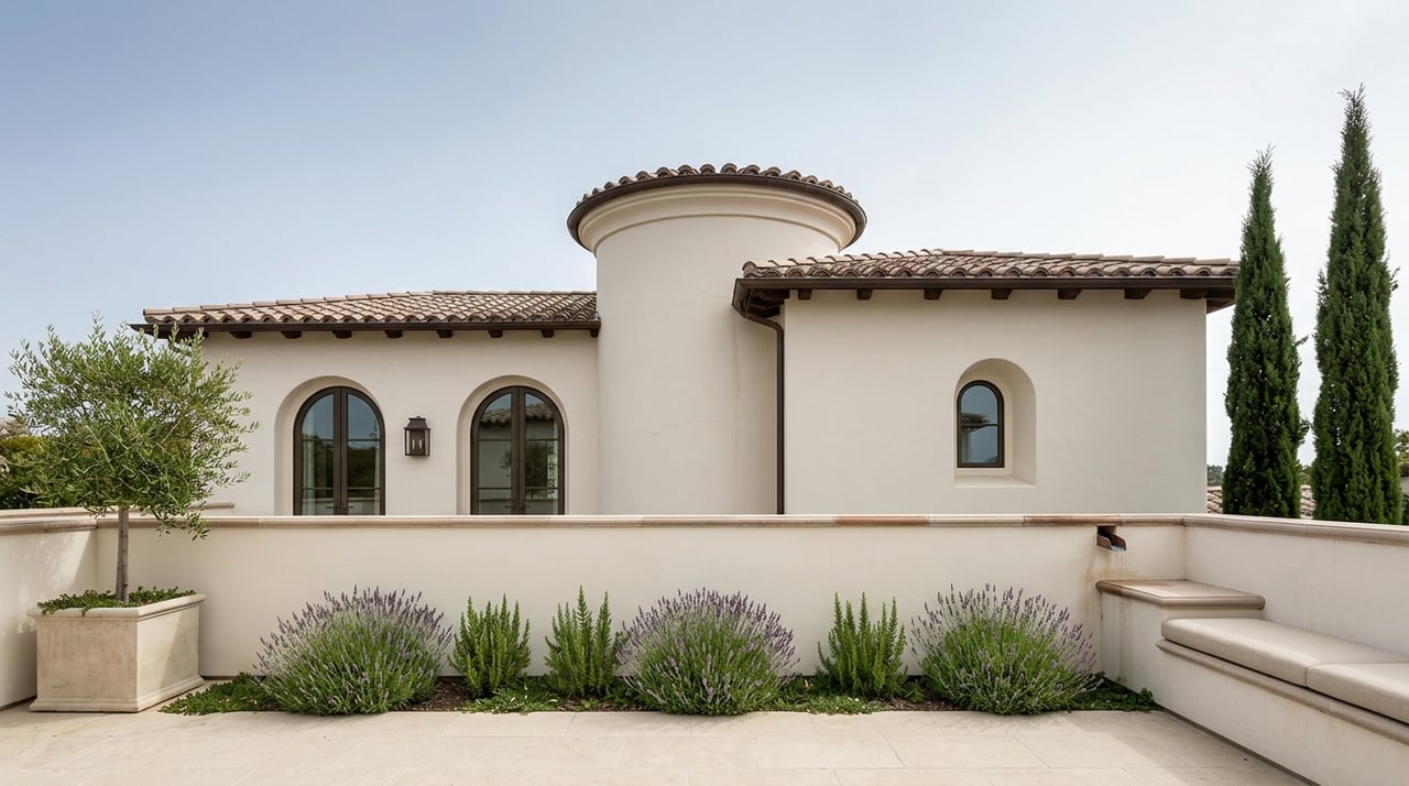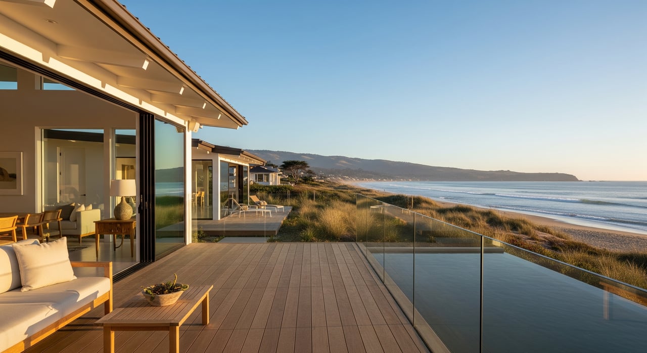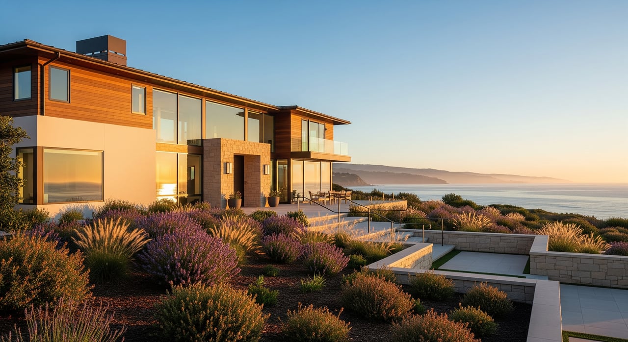
Thinking about a home near the sand in Seabright or Pleasure Point? The ocean lifestyle is unmatched, but buying in the Coastal Zone comes with its own rulebook. You want clarity before you fall in love with a view, start a remodel, or assume you can rebuild after a storm. In this guide, you’ll learn what the Coastal Zone means, when permits are required, how local hazards shape what you can do, and the smart steps to take before you buy. Let’s dive in.
What the Coastal Zone means locally
California created the Coastal Zone to protect public access, coastal resources, and safety. Inside this zone, most development needs a Coastal Development Permit, known as a CDP. The definition of “development” is broad and often includes work that would be routine elsewhere.
In East Santa Cruz, parts of Seabright and Pleasure Point fall under either the City of Santa Cruz or unincorporated Santa Cruz County. Both have certified Local Coastal Programs, which means the local planning departments are usually the first stop for CDPs. The California Coastal Commission can still review or appeal some approvals. To understand the permitting framework, start with the Coastal Commission’s overview on coastal permits and CDPs, then review the City of Santa Cruz Planning and Santa Cruz County Planning pages for parcel-specific rules and maps.
Where permits come into play
If you plan to build, expand, or reconfigure a property in the Coastal Zone, expect to engage the CDP process. New construction, additions that enlarge a footprint, substantial grading, blufftop work, and shoreline armoring typically trigger a CDP. Projects that could affect public access, views, or sensitive habitat are closely reviewed.
Some minor maintenance may be exempt if it does not change exterior dimensions or grading. However, the definition of “minor” is narrow near the coast. Emergency authorizations exist for immediate hazards, but they are temporary and do not replace the need for a regular CDP. You can confirm common triggers on the Coastal Commission’s permitting guidance.
East Santa Cruz realities: hazards to know
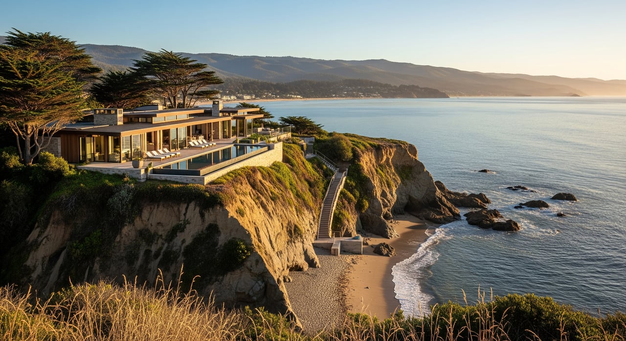
Coastal hazards shape what is possible at many properties in Seabright and Pleasure Point. Bluff erosion and instability are key concerns on or near bluff edges. Local policies often require geotechnical studies and setbacks that are based on projected erosion rates, not just a fixed distance. In low-lying shorefront areas, high tides and storm surge can contribute to flooding.
Sea level rise is a long-term factor in planning. State-level resources, like the California Ocean Protection Council’s sea level rise guidance, inform local policies. In addition, Santa Cruz is within mapped tsunami evacuation and inundation areas, which affects disclosures and insurance. When evaluating a property, you will want to understand both present-day hazards and how conditions could evolve over time.
Public access and scenic view protection are also priorities. Projects that might reduce beach access or alter views generally face higher scrutiny. New shoreline armoring is difficult to permit unless it meets strict criteria, and soft solutions are increasingly favored where feasible.
Step-by-step due diligence for buyers
Step 1: Confirm jurisdiction and history
First, confirm whether the parcel is inside the City or the County. Jurisdiction can change across streets, so check the assessor’s parcel number with the City of Santa Cruz Planning or County Planning Department. Ask for the property’s permit history, including any past CDPs, conditions of approval, exemptions, or open code cases. If shoreline protection exists, verify that it was permitted and determine any maintenance obligations.
Step 2: Assess hazards and technical needs
For blufftop or cliff-adjacent properties, plan on a current geotechnical review to evaluate stability and erosion rates. Ask whether the parcel lies in a flood zone or tsunami area. You can verify flood status using FEMA’s Map Service Center. Review local coastal hazard maps to understand exposure to storm surge and sea level rise.
Step 3: Check permit feasibility and timeline
If you are considering renovations or a future addition, speak with local planning staff early to confirm CDP requirements and submittal checklists. Simple proposals can take a few months, but complex projects, appeals, or sites in sensitive areas can extend to a year or more. Emergency permits are limited in scope and time. Expect to budget for studies such as geotechnical, biological, and erosion analyses. For an overview of the process, see the Commission’s permitting guide.
Step 4: Plan for insurance and financing
Flood zone status influences lender requirements and NFIP premiums. Ask your insurer about coverage eligibility and any coastal hazard exclusions. Lenders may require elevation certificates, hazard disclosures, or may limit financing where long-term rebuild options are uncertain. Flood mapping is available through FEMA’s Map Service Center.
Step 5: Gather disclosures and seller records
Request the Natural Hazard Disclosure report, prior CDPs, evidence of repairs, and any notices related to erosion, slope stability, or enforcement. Ask the seller to identify known issues and to share any technical studies on file. Confirm whether any public access easements or conditions apply to the parcel.
Step 6: Clarify future options
Before you close, understand what would happen if a major storm damaged the structure. Ask local staff about likely repair or rebuild pathways under current policies. Also ask whether shoreline protection would be an option, and under what conditions, if future erosion threatens the home.
If you plan to renovate or build
Most meaningful exterior changes in the Coastal Zone require a CDP. This typically includes additions, second stories that increase height or envelope, decks that extend a footprint, grading, or new accessory structures. On bluff properties, geotechnical studies and long-term setbacks are standard. On shorefront parcels, flood risk, wave action, and public access considerations are key factors.
Expect to submit site plans, elevations, and stormwater and erosion control plans. Many sites will need geotechnical reports. Some will need biological studies if sensitive habitats may be affected, and a public access analysis if there is potential impact on access or views. Start with a pre-application conversation so you can align early on expectations. For general guidance, review the Coastal Commission’s CDP process overview.
Related agencies you may encounter
Depending on the scope and location of your project, other agencies can be involved in addition to the City or County and the Coastal Commission.
- U.S. Army Corps of Engineers. Work in tidal waters or wetlands may require approvals under the Corps’ Regulatory Program.
- Regional Water Quality Control Board. Projects affecting waters may need 401 certification or stormwater approvals by the Central Coast RWQCB.
- California Department of Fish and Wildlife. Alterations affecting streams or riparian corridors can trigger a Lake and Streambed Alteration Agreement.
- NOAA’s Monterey Bay National Marine Sanctuary. Projects that could affect sanctuary resources may require coordination with the Sanctuary.
Each of these reviews serves a specific purpose. Your local planner can flag which ones apply to your address.
Timelines, costs, and expectations
CDP processing times vary by complexity and location. Straightforward projects with complete studies can move in a few months. Designs near sensitive habitats, bluff edges, or public access points can take longer, and appeals can add months. Build your plan around a realistic schedule.
Budget for studies and fees. Geotechnical and biological reports commonly range from several thousand to tens of thousands of dollars, depending on scope. Permits often include conditions such as monitoring, setbacks, or mitigation. In some cases, designs must be modified to protect coastal resources. New hard shoreline armoring is rarely approved unless strict criteria are met and the project is the least damaging feasible option.
The most successful buyers plan early. You do not have to avoid the Coastal Zone to achieve your goals, but you should enter with clear expectations and the right team.
Work with a local advisor you trust
Buying near the water is about balancing lifestyle, safety, and long-term value. A thoughtful plan and early coordination with the City or County can streamline your path. If you want a confidential, senior-level perspective on a specific property or a renovation plan, connect with The DeBernardo Team for a private consultation. We help you evaluate risk, navigate permits, and position your purchase for long-term enjoyment.
FAQs
What is a Coastal Development Permit in East Santa Cruz?
- It is the primary approval required for most development in the Coastal Zone, administered by the City or County under their certified Local Coastal Programs, with oversight by the California Coastal Commission; see the Commission’s permitting overview.
How do I check if a property needs a CDP before I buy?
- Contact the local planning department for the parcel, confirm jurisdiction, and describe your proposed work; start with the City of Santa Cruz Planning or County Planning pages and consult the Commission’s CDP guidance.
What hazards should I evaluate in Seabright or Pleasure Point?
- Focus on bluff erosion and stability, coastal flooding and storm surge, and tsunami exposure; use FEMA’s Map Service Center for flood zones and review state-level sea level rise resources from the Ocean Protection Council.
Can I add a second story or expand in the Coastal Zone?
- Often yes, but it usually requires a CDP, geotechnical review in bluff areas, and compliance with setbacks, height, view, and access protections; early consultation with local planning staff is key.
What are the rules on seawalls near Pleasure Point?
- New hard armoring is difficult to permit and must meet strict criteria showing no feasible alternative and the least damaging option; soft solutions and managed retreat are often prioritized under current coastal policy.
How long does a typical CDP take in Santa Cruz?
- Simple, well-prepared applications may be processed in a few months; complex sites, required hearings, or appeals can extend timelines to a year or more; check with local staff for address-specific estimates.
Do I need flood insurance if I buy near the beach?
- If the property lies in a mapped Special Flood Hazard Area, lenders generally require flood insurance; verify status on FEMA’s Map Service Center and confirm coverage options with your insurer.